Arizona's Chiricahua National Monument in Winter
Enjoy a thrilling journey through steep canyons with astounding rock formations.

Standing like an island surrounded by desert grasslands, the 9,760-foot Chiricahua Mountains of southeast Arizona hide a treasure trove of natural wonders. At a biological crossroads, Chiricahua National Monument harbors plant, bird, and mammal species from the Chihuahuan and Sonoran deserts, and the Rocky and Sierra Madre mountains. But the real magic is in the rocks.
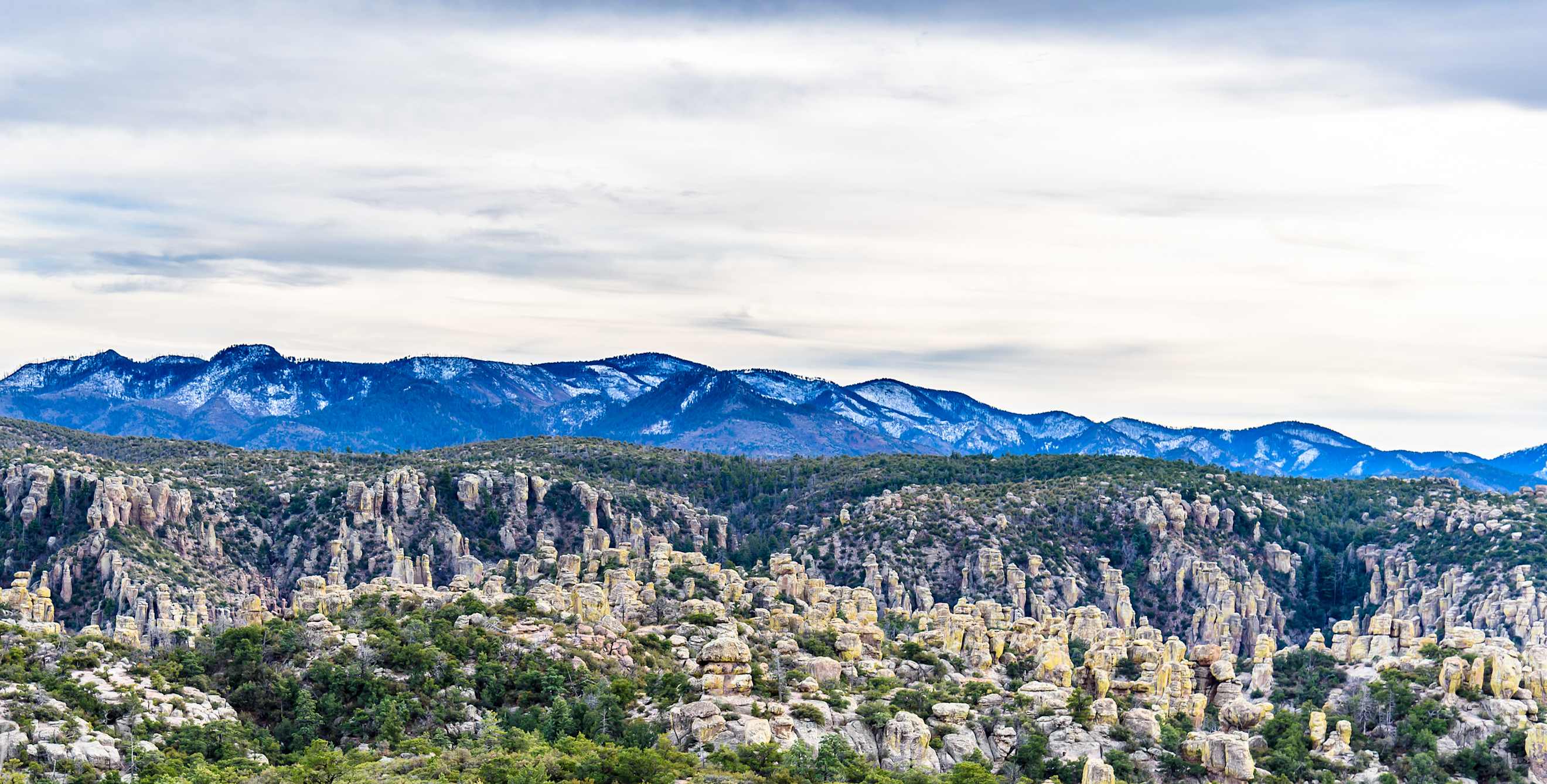
Over millions of years, the creative forces of erosion sculpted the soft volcanic slopes into a fantasy of spires, columns, balanced rocks, and bizarre formations. The Chiricahua Apaches called their homeland the "Land of the Standing-up Rocks." In the winter, a frosty blanket of snow makes the already magical landscape even more surreal, yet the average high temperature often reaches the 60s, which is perfect for exploring the wonderland.
How to Get to Chiricahua National Monument in Winter
The 34-mile drive southeast from Willcox on Interstate 10 climbs from rolling grasslands into pine foothills at the Bonita Canyon visitor center, open daily from 8:30 a.m. to 4:30 p.m. Leaving the center, the 11.3-mile Bonita Canyon Scenic Drive passes below a palisade of towering fragmented cliffs and leads to hiking trails and Massai Point's majestic 360-degree vista. From the castle-like overlook, the soft mantle of snow and golden afternoon light transform the standing rocks into hoards of marching soldiers wearing snowy helmets.
Winter Hiking in Chiricahua National Monument
A journey through the monument's wooded canyons, sheer-walled corridors, and mind-blowing formations is guaranteed to thrill the child within. The 17-mile network of trails includes loops that vary from short and easy to all-day and strenuous. The Echo Canyon trails (moderate) lead to the Grottos, Wallstreet (a sheer-sided passageway along the trail), and through towering formations. The Heart of Rocks Loop (strenuous) connects Big Balanced Rock, Mushroom Rock, and a playground of fanciful formations. From the visitor center, easy trails lead along Bonita Creek to the historical Faraway Ranch.
Bonita Canyon Campground offers 25 shaded tent and RV sites, and one large group site. It often fills quickly, especially in the spring. Willcox has the closest food, ice, and gas with full facilities.