Arizona's Old West Highway Salsa Trail
The heat is on when you follow the Old West Highway to one of the state’s most-seasoned regions.

Arizona has prospered because of its famous five Cs: cattle, citrus, climate, copper, and cotton. But Graham County goes a step further by adding a sixth C: chile peppers.
A few years ago, Graham County resident Bill Civish, aka “Señor Salsa,” went to the Arizona Office of Tourism with a little bit of salsa from his hometown restaurants. He and the local chamber pitched and sold the concept of creating Arizona's Salsa Trail, which follows the Old West Highway through Graham and Greenlee counties, and welcomes visitors for a taste of this unique corner of the state.
Start your road trip in Globe with an empty stomach. Continue east through town on U.S. 70, the start of the Old West Highway, for about 74 miles across the San Carlos Apache Nation into the Gila Valley and the town of Thatcher. Make your lunch stop at La Casita Café. Order the enchilada-taco-burrito combo with chips and salsa and give the hot variety a try — as with all the restaurants on the Salsa Trail, it isn’t especially “hot,” but rather full of flavor. After lunch, check out the Graham County Historical Society Museum.
Then, head toward Safford, three more miles up the road. This is an ideal central location with a variety of lodging options for your trip. Stop by the Graham County Chamber of Commerce to pick up local guides and maps. Options for afternoon sightseeing include Discovery Park and Roper Lake State Park. For dinner, try Casa Mañana’s incredible creamy green chili chicken enchilada.
The next morning, start your day at El Coronado, where owner Mary Coronado serves a popular stuffed breakfast quesadilla in historic downtown Safford. Then make your way east on U.S. 70 about 40 miles to Duncan. Located in Greenlee County, Duncan is on the Gila River and is a true “Old West” town. The town is filled with quirky shops, including Hilda’s Market where Hilda Goeking, an El Salvador native, serves enchiladas and burritos from the general store.
Take State Route 75 north about 19 miles, then take U.S. 191 north toward Clifton (nine miles ahead), picking up the Coronado Trail Scenic Byway. Spanish explorer Coronado was likely the first European through the area in 1540. In the 1860s, miners came looking for gold, but found copper instead. Highlights in this mining town include the historic Chase Creek District, Greenlee County Historical Museum, and the San Francisco River.
Push on toward Morenci. At the intersection for local traffic and U.S. 191, take a right toward the Freeport-McMoRan copper mine—North America’s largest open pit mine. Drive about five miles up the road to the Coronado Overlook for a spectacular view of the mine, watching for bighorn sheep along the road. From the overlook, return back down U.S. 191 the way you came. In nine miles, turn right to stay on U.S. 191, then in 23 miles, turn right onto U.S. 70 and continue for five miles into Solomon. Stop for dinner at La Paloma, a family-owned restaurant and the 2012 Salsa Fest Champion. After dinner, head back east on U.S. 70 for about four miles to Safford.
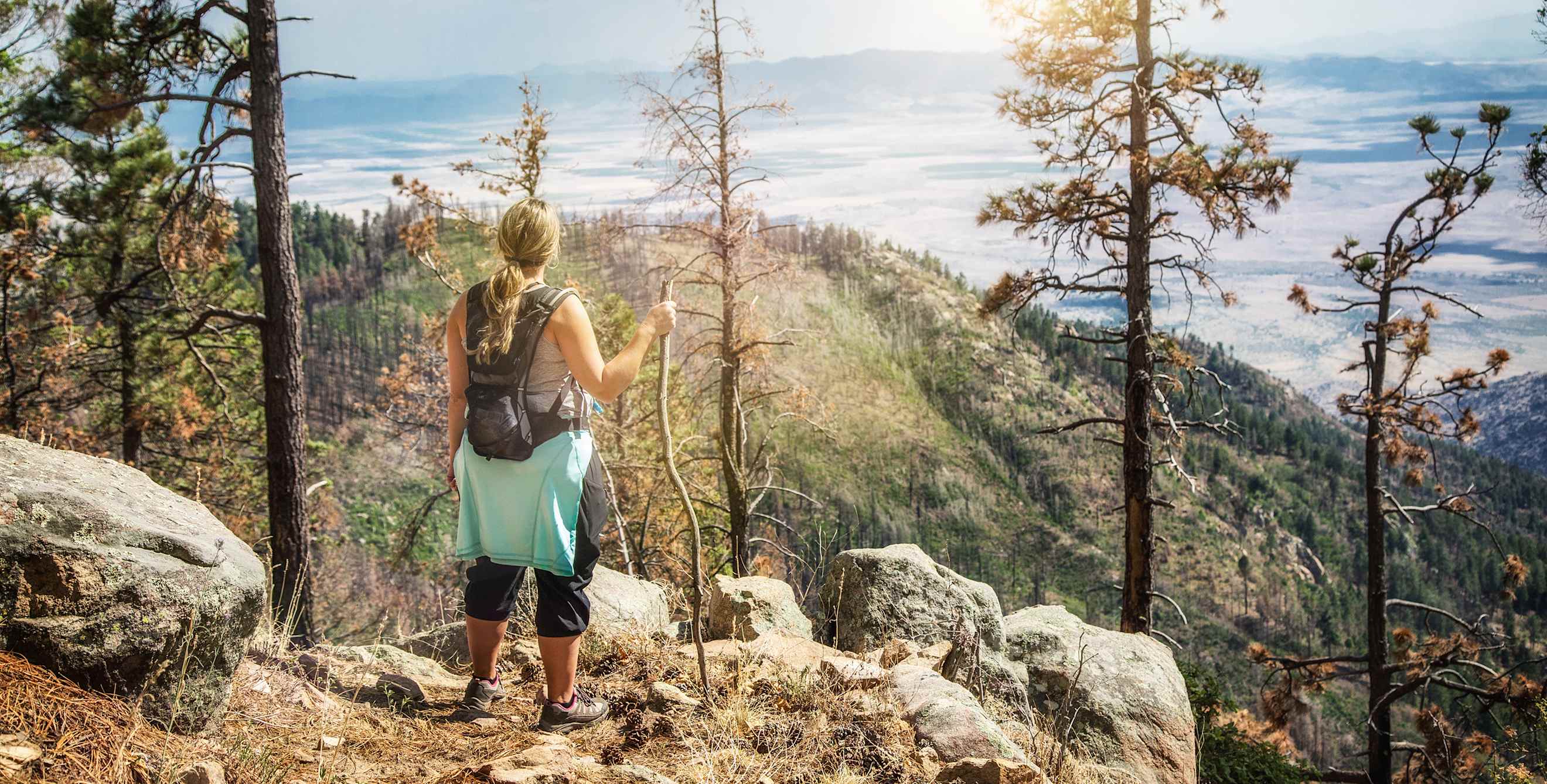
Your return trip home wouldn’t be complete without a drive up Mount Graham. Take U.S. 191 south out of Safford for about eight miles, then turn right on State Route 366 (the Swift Trail), which continues for 23.5 miles up the mountain for a five-hour round-trip drive. Note that the road closes at milepost 22 to the top from November 15 to April 15. A great short trip year-round is to the Wet Canyon Bridge. The drive is paved for the first 22 miles and easily accessible by automobile; however, the road is narrow and steep. The drive up Swift Trail starts in the Sonoran Desert and winds through five different climate zones to the peak at 10,720 feet, giving you a chance to experience every environment you would find if you drove from Arizona to Canada.
Make your way back down the mountain and turn right on U.S. 191, heading south toward Interstate 10. In 26 miles, you can go west on I-10 toward Tucson for the return to the city.