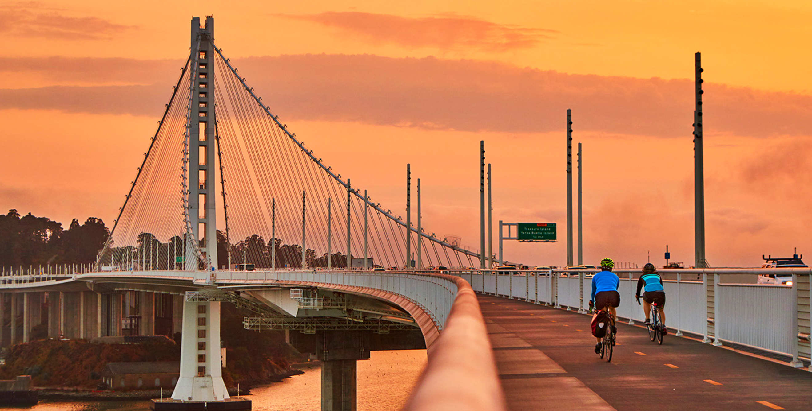
Biking the Bay Bridge
A 4.4-mile path allows visitors to walk, jog, or cycle on the Bay Bridge.

Spanning 400 glittering square miles from Richmond to San Jose, the San Francisco Bay is hard to miss. But you haven’t quite experienced that stretch of water until you’ve seen it up close, from the eastern span of the Bay Bridge linking San Francisco to the East Bay.
“It’s spectacularly beautiful,” says Dave Campbell, advocacy director for Bike East Bay. “You just can’t get better views of the bay.”
For some 20 years, the group lobbied for a path on the bridge’s new eastern span. Thanks to its efforts, a 4.4-mile trail was completed in 2016, allowing visitors to walk, jog, and cycle from the East Bay to Yerba Buena Island, the craggy spit of land at the bridge’s midpoint.
You can hop on the path at its source in Oakland, and then, as you gently ascend, admire the Star Wars–esque Port of Oakland cranes. Once the trail joins the bridge proper, the going gets steeper and cars roar past. Stay strong and ride on: Remarkable vistas lie ahead.
On the left, sparkling bay waters stretch to the southern horizon; on the right, the graceful suspension tower of the new span soars to the clouds.
One last push, and you’re rewarded with a momentary peek at the Golden Gate Bridge, as the path flattens before ending at Yerba Buena Island’s Vista Point. Here, benches invite you to catch your breath, sit, and marvel at the sight of the bridge gently sweeping down to the flatlands of Oakland, Emeryville, and Berkeley, with the green-gold East Bay hills as a backdrop.
The best part? It’s all downhill on the way back.